Category Archives: walking

Alone in the Yorkshire Dales
I had a day to myself today and decided that a wander in the Yorkshire Dales was in order. The forecast was warm with light breeze and patches of sun. Definitely no rain. I packed a light bag and then made it heavy by adding my camera and its bag.
I drove out to Malham, an absolute honey-pot for the tourists. Famous for its cove, tarn and for Goredale Scar. All of which would be swarming with walkers later in the day. Leaving the car a short way from the tarn I took a bridleway to the North East towards Arncliffe.
My plan wasn’t to follow marked trails but to strike off from the track and find ‘things’ marked on the map. There were many antiquities marked in the Gothic font in the area and I wanted to try to find some, to practice my navigation and just to visit new places.
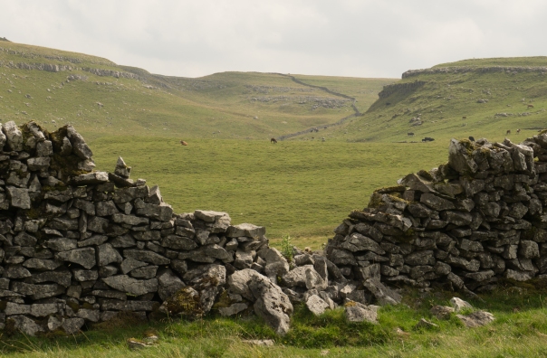
Leaving the bridleway I plotted a course to take me to a tip (ruin) which was a couple of kilometres away. To get there I followed natural features (an edge) and walls. The area is all covered by CRoW Access land but I had to climb over several dry stone walls to get to where I wanted to go. In several cases there were gates which would have been useful but they were padlocked shut and often had barbed wire across the top -not very inviting to users of the land.
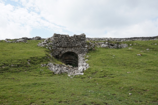
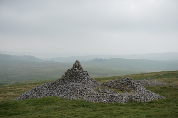
I found the tip (disused) marked on the map. On the ground there was a large pile of rocks partly covered in grass and a large cairn-like structure. I took a bearing towards the next point of interest, a settlement just under a kilometre away. On the map it was shown as being in a ring contour, from this distance there was nothing to be seen. After a swig of water I set off back the way I came a short way, to climb the wall in the same place and climb the next one too.
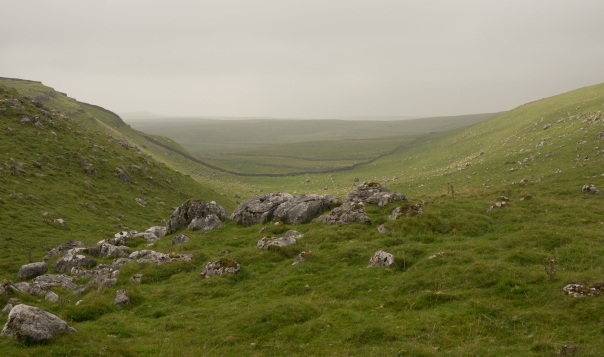
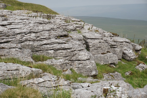
I had the map out at this point and began to get puzzled. The walls I could see on the ground didn’t quite match what I’d expected to see from the map. The angles seemed wrong. The contours were a pretty close match between map and ground but doubt crept in. I crossed a small valley, climbed up the other side onto the top of a small hill where I thought the settlement should be. There was nothing that my untrained eye could discern as human activity here. I was definitely on a ring contour though.
I took off my pack and took out my phone to check the grid reference, just to make sure I hadn’t wandered off track. The GPS confirmed my location was exactly as it should have been which I was very pleased about. I’d not be much good as a mountain leader if I got lost in broad daylight!
It had taken me quite a bit of time to get to this point in my walk. It wasn’t that far I’d traveled but crossing walls and careful navigating had cost me a lot of time. It was getting towards lunchtime so I walked on to a scenic spot where I could sit and test out my new stove.
I had been walking for about three hours now and hadn’t seen a soul. Not one single person, near or far since I parked my car at about 10am.
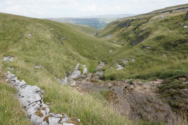
After lunch I walked northwards towards a small gorge with a stream flowing down off the hills towards Arncliffe. Contouring upstream to find a place to cross which didn’t require the use of a rope. As I got closer to the stream and to the bridleway on the opposite side I heard voices. The first other people in almost four hours. The voices belonged to two ladies enjoying the afternoon sun and two young boys building a dam in the stream. I said hi, photographed the view and walked on.
I was running out of time now so I opted to follow the bridleway back to the car. Within a few minutes my people count was up to seven, then nine, then more. Back into the popular areas. The walk out had taken four hours. The walk back, along a well trod bridleway only one.